How it works

From local evidence to usable intelligence

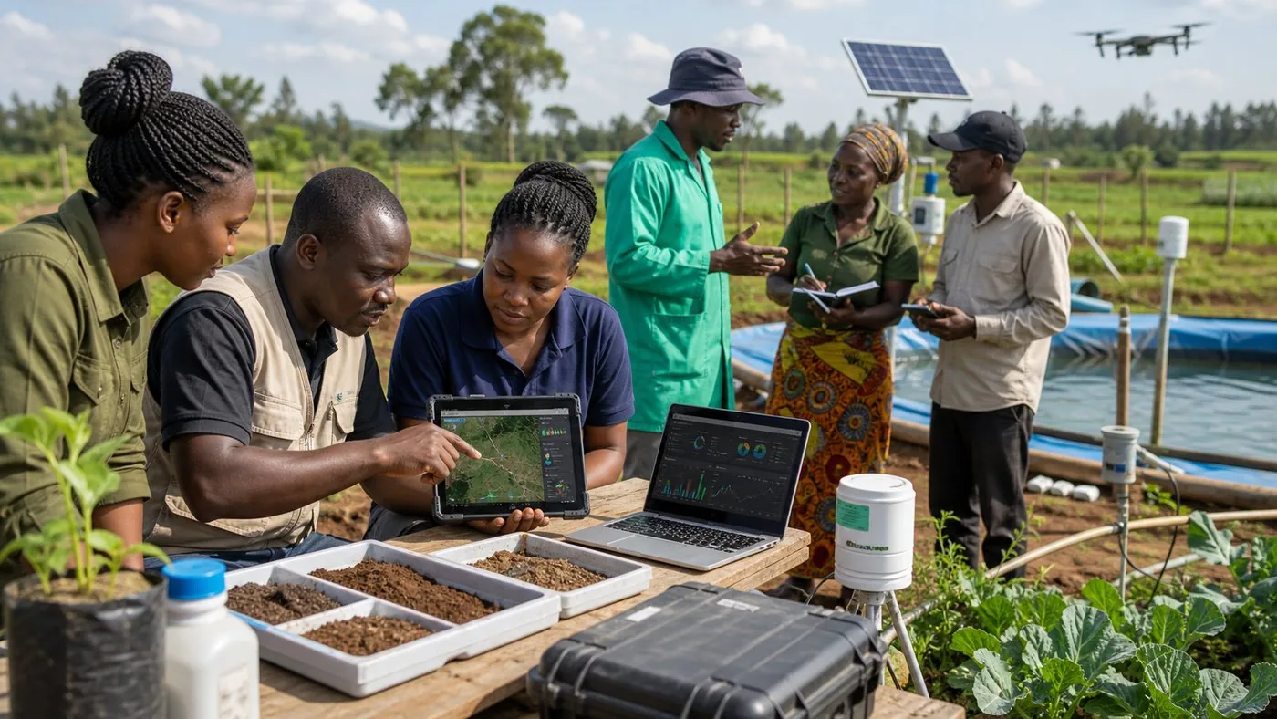
  • Assess household realities, farm conditions, water access, energy use, climate risks, and livelihood gaps.
  • Map and analyze soil, farms, catchments, infrastructure, and community priorities using AI and GIS.
  • Test SmartFarm, SmartFishAI, water automation, energy, waste, and livelihood approaches in real settings.
  • Track results through dashboards, learning reviews, community feedback, and partner reporting.
Field team reviewing soil samples, GIS maps, sensor readings, and community research data

Research program

Field evidence, AI, GIS, and monitoring for better decisions

EarthGuard connects local knowledge, field data, soil science, technology pilots, and monitoring so community programs are practical, measurable, accountable, and ready to improve.

Assess

Needs and baselines

Household realities, farm conditions, water, energy, climate risk, and livelihood gaps.

Map

AI and GIS intelligence

Soil health, field maps, fertility guidance, catchment data, and local recommendations.

Test

Trials and pilots

Agriculture, aquaculture, smart irrigation, energy, waste recovery, and water automation.

Learn

Monitoring and dashboards

Project indicators, community feedback, learning reports, and evidence for scaling.

Program focus

  • Needs assessments and feasibility studies
  • AI soil health and GIS mapping
  • Field trials and technology pilots
  • Water, energy, and catchment research
  • Monitoring, evaluation, and dashboards
  • Community learning and partner reports

Who benefits

  • Communities and farmer groups
  • Schools and government partners
  • Universities and researchers
  • Donors and NGOs
  • Technology and delivery teams